
Data processing
Processing workflows for drone, UAV and LiDAR data.
Explore CadlaB’s software and data-led solution areas. Product names and catalogue details can be added as offerings are finalised.
The supplied company blueprint highlights drone / UAV and LiDAR data processing, WebGIS applications, real-time data visualisation and application services.
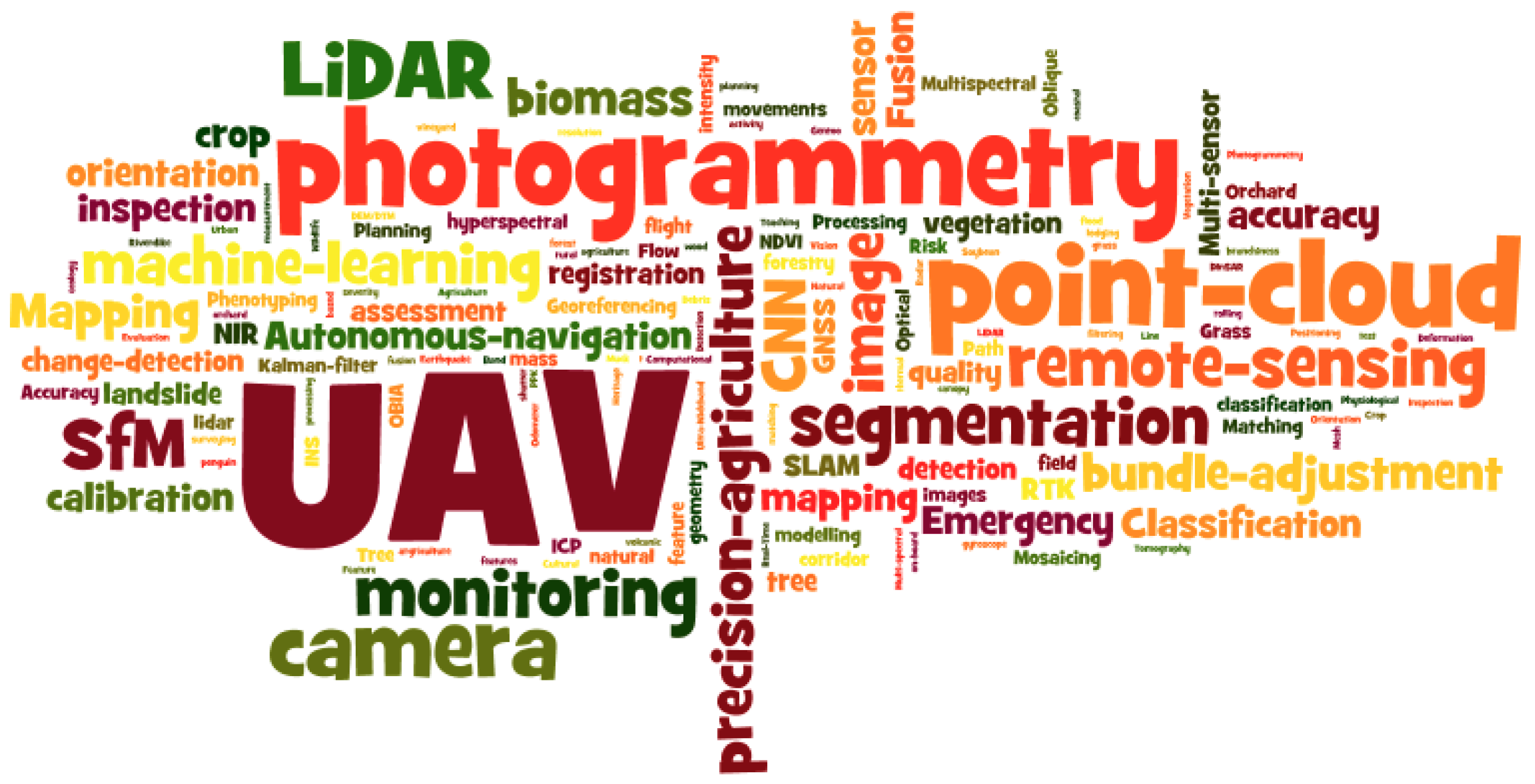
Processing workflows for drone, UAV and LiDAR data.
Spatial visualisation and application services through WebGIS.
Spatial analysis, visualisation and data management capabilities.