Survey & data capture
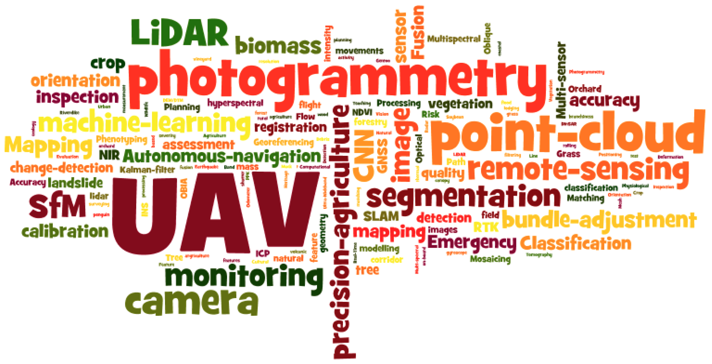
UAV mapping, DGPS / ETS survey and mobile laser scanning to capture the site and its physical context.
- Survey datasets
- Georeferenced imagery
- Point-cloud capture

A connected portfolio of mapping, modelling, surveying and geospatial services.
Design-led visualisation and detailed 3D modelling solutions.
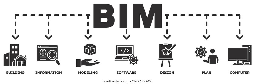
Building Information Modelling and reverse engineering workflows.
Aerial data capture and mapping for infrastructure and land applications.
Laser scanning for detailed spatial data acquisition.
Surveying and mapping support using DGPS and ETS.
Geospatial information, remote sensing and spatial analysis.
Each engagement is shaped around the project scope, site conditions and required outputs. Final deliverables are agreed before work begins.
UAV mapping, DGPS / ETS survey and mobile laser scanning to capture the site and its physical context.
Transform captured information into useful 2D / 3D outputs, BIM models and visual representations.
Make spatial information easier to explore through GIS analysis, WebGIS visualisation and data management.
Bring field capture, modelling and analysis together in a coordinated geospatial workflow.
Discuss a requirement